
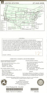
U.S. 3/4 - Low Altitude Enroute Chart
FAA/NACO Charts - Coverage: North - Northern CA; South - Mexico Border; East - CA / AZ Border; West - Pacific Ocean.
10% Discount when ordering our Subscription Service - contact: chartsales@airward.com
Chart Dealerships available - contact: chartsales@airward.com
FREE SHIPPING (USPS - U.S. Only).
Expedited Shipping available - contact: chartsales@airward.com
New Enroute Chart issued every 56 days: 2022: 1/27; 3/24; 5/19; 7/14; 9/8; 11/3; 12/29.